


Trail around Lac des Sapins - Beaujolais Vert - Cublize


You'll love:
• Paths that deviate from the lake's shores and invite walkers to take the time to admire the sweeping panoramas. Those that draw their gaze toward the horizon toward the Côte Roannaise and...
You'll love:
• Paths that deviate from the lake's shores and invite walkers to take the time to admire the sweeping panoramas. Those that draw their gaze toward the horizon toward the Côte Roannaise and the Monts de la Madeleine. Those that offer glimpses of the lake from unfamiliar perspectives.
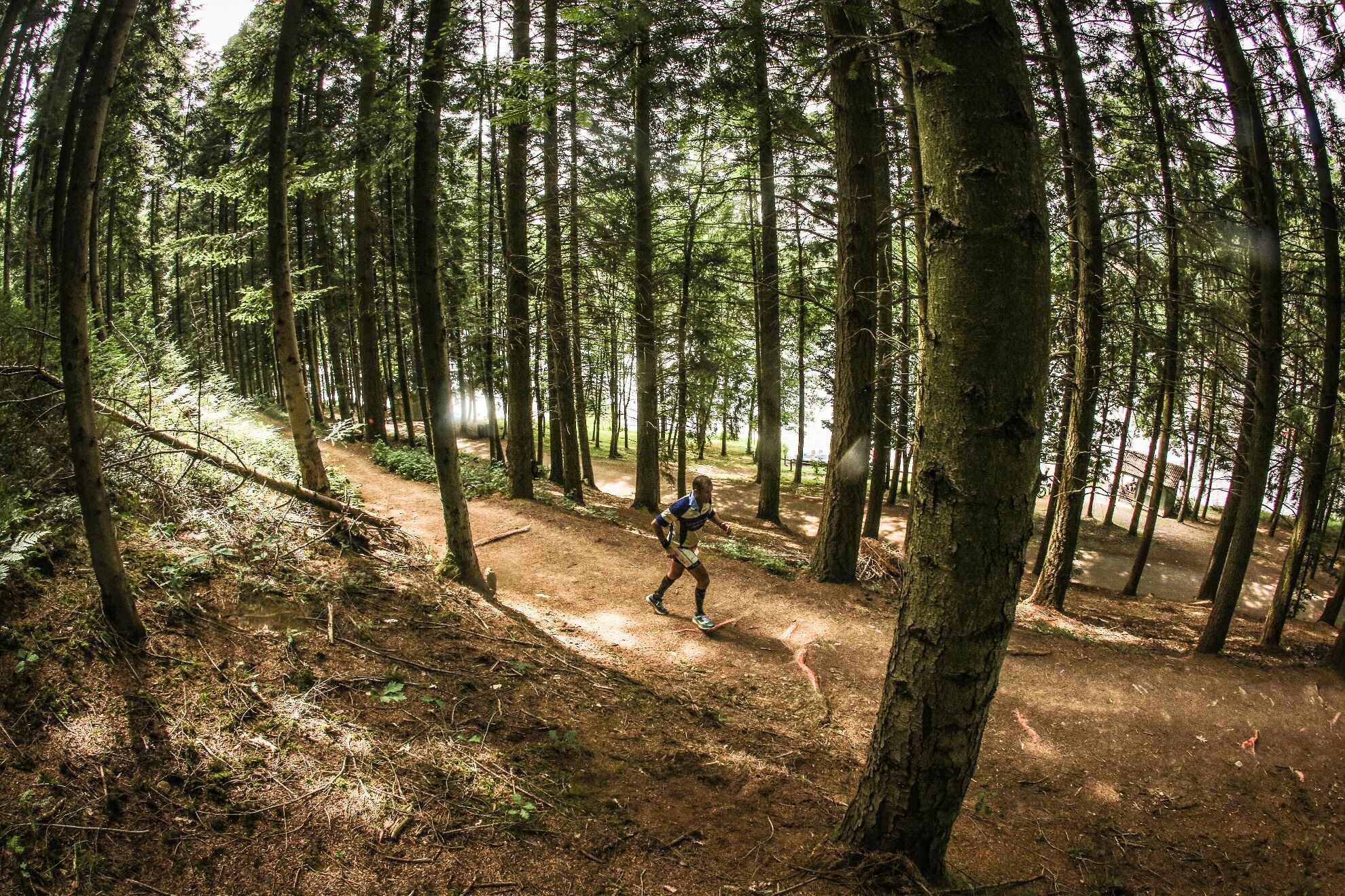
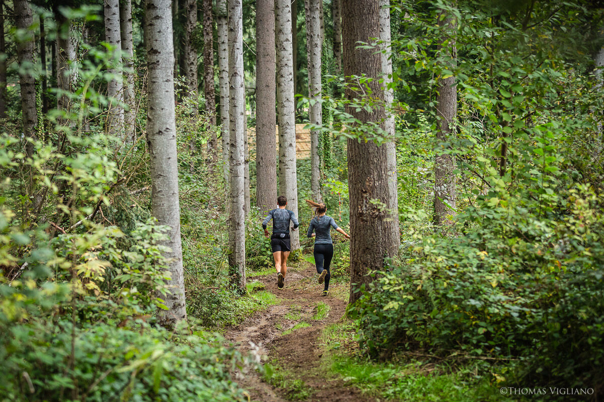
• An ideal trail for gradually building up speed and stride strength until you see the landscapes passing by in fast motion. Allow yourself a break and breathe in the fresh air of the still countryside.
• A glimpse of the 24 marked trail hikes in the Beaujolais Vert region.
• Away from the big cities, a natural world worthy of the effort put in by walkers.
You'll enjoy it best:
• With water and lightweight, grippy running shoes.
• By thinking of yourself as an adventurer, eager to find the most beautiful view of the lake.
• By scheduling multi-activity sporting challenges: trail running, swimming in summer, horseback riding and Nordic walking in fall, Afghan walking and acrobatic forest trails in spring, gravel trails for exploring the region in summer, etc.
• In winter, when the lake and forest seem asleep and the summer frenzy gives way to a soothing silence.
A bit of culture:
The Beaujolais Vert trail resort
A true destination designed for running, the trail resort offers a variety of trails designed for all types of runners: novices, weekend runners, seasoned runners, etc.
It stretches across the mid-mountain area of the Tarare mountains, the Azergues and Reins valleys, the Haut Beaujolais region, and the wine-growing hillsides.
The elevation changes are steep, with paths sometimes forested or stony.
The resort has 400 kilometers of circuits with phosphorescent markings for running day and night, eight workshops and two vertical kilometers. Departures are from Lac des Sapins, Claveisolles or Tarare
Beliebte Touren in der Nähe
La forêt de la Cantinière - Beaujolais - Saint-Cyr-le-Châtoux
leichtWanderung11,3 kmDe l’Aze à l’Ergues - Beaujolais Vert - Claveisolles
leichtWanderung13,0 kmCircuit de découverte du patrimoine
leichtWanderung2,19 kmVon Oingt zum Col du Châtoux - Beaujolais - Oingt - Val d'Oingt
schwerWanderung15,1 kmDes dégringoules* au vert - Beaujolais - Amplepuis
leichtWanderung5,13 kmThe forest of Brou - Beaujolais - Dième
leichtNordic Walking10,5 kmMa première nuit étoilée - Beaujolais - Tarare
schwerWanderung36,5 kmThe Cantinière forest
leichtThemenweg2,96 kmAround the Lac des Sapins - Beaujolais Vert - Cublize
leichtWanderung4,76 kmThe chapel of La Salette - Beaujolais Vert - Joux
schwerWanderung19,9 km
Wandern & Tracking


Verpasse keine Angebote und Inspirationen für deinen nächsten Urlaub
Deine E-Mail-Adresse wurde in den Verteiler eingetragen.